But once there and pulled over at the side of the road, I decided I wanted something just a bit longer with more views. So my first thought was Mt. Oscar. Didn't like that idea so figured I'd just do The Sugarloafs. But before I made the turn onto Zealand Rd., I third choice was realized, Haystack Mtn. A.K.A., "The Nubble " I'd only been there once on the way to bagging PATN, Peak Above The Nubble. A.K.A. Unnamed Peak 3813. I didn't get to spend that much time there then.
So I drove to the gated and of Gale River Road and headed out.
In short order I was at the herd path / unofficial trail to Haystack Mtn.
Then my first glimpse of my target.
This trail is quite well defined as you can see below.
Which starts to parallel Haystack Brook for a ways.
It eventually crosses Haystack Brook at this spot.
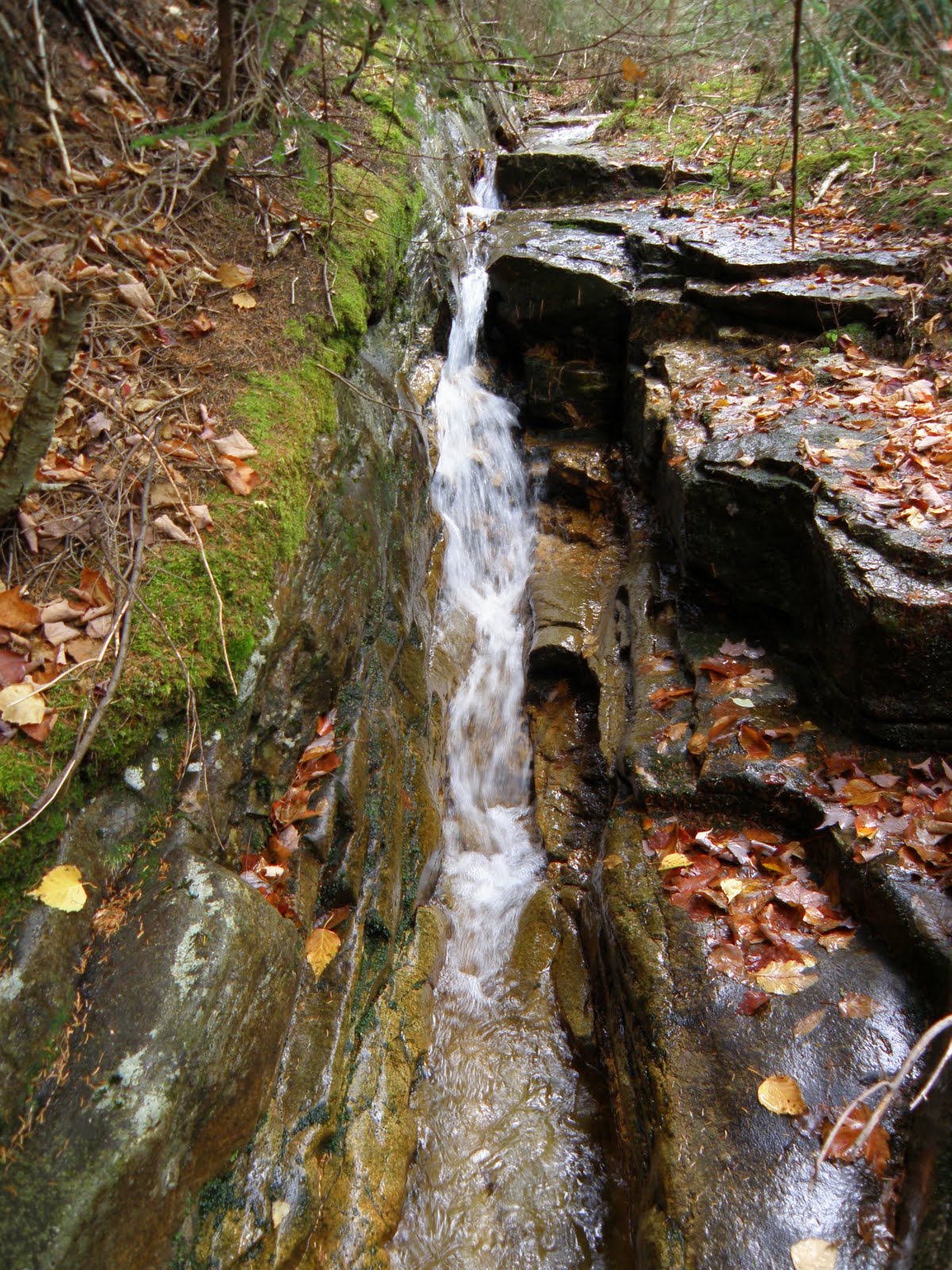
I could see that this ledgey section of the brook went up for a ways so I decided to follow it for a while. Word of caution: Wet leaves on mossy slabs = Wet Butt. :( It wasn't anything special but killed some more time.
Nearing the climb. See what I mean about the trail. Hard to miss.
And finally, the entrance to the ledges.
The next several shots are the climb to the top.
The summit.
Far more clouds were present on top than when I started out. But still, pretty descent views.
East
South
West
Mounts Cleveland and Agassiz
Garfield making a brief appearance.
Presi's were once again a no show. :(
In order, N. Sugarloaf, M. Sugarloaf, Mt. Oscar.
I spent well over an hour on top. Not a sole around, warm sun and a cool breeze. Could have sat there for hours. I relaxed first with the east view, then the west.
I did eventually have to go and the climb down was just as fun.
Back to the nice flat section of the trail.
I got to a point on the trail that I decided to shorten the return trip by cutting off a corner. Easy enough to do with nice open woods.
And .3 miles after back on the road, done.
We had a great 4 days up north. Totally avoided the crowds. Both on the trails and on the road. Doing Saturday to Tuesday vs Friday to Monday was a, Grrreat,, decision. :D
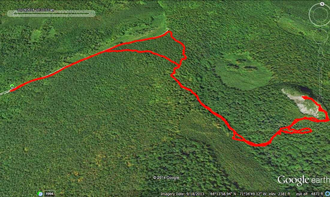
The Tracks
EDIT: To better explain a comment by 1HappyHiker I've included a map and the Google Earth image of it. I shows, and better explains the brook and route I believe he is referring to.
The view form the slide if anyone is interested.
First, Haystack Brook higher up.
Near the top of the slide.


Terrific report Joe, and your photos do justice to this beautiful and unique spot. I often visit this destination since the "trailhead" is less than a 15 minute drive from my home.
ReplyDeleteAnd lastly, (as you likely know) during dry summer months conditions, it's a fairly easy bushwhack to continue following that west branch of Haystack Brook to PATN.
John
Thanks John. I did not realize that Haystack Brook was the brook that continues to the slide. We had picked that up a bit higher when we did PATN. Thanks for that info.
ReplyDeleteJoe
Joe . . . thought I should post a follow-up comment to confirm we are talking about the same corridor as a route to PATN.
DeleteWhen looking at a topo map, you will see a brook running on the east side of 'The Nubble' and on the west side of it. It's the brook on the west side of the Nubble that I've used as a corridor to PATN during dry summer months.
Regarding the names of the drainages on either side of the Nubble, the topo maps are a bit confusing to me. It could be interpreted that both are named Haystack Brook.
John
Thanks John. I'm pretty confident we are talking about the same brook. I've now included a map and G.E. image in the blog about what we are discussing. When 2 friends and I did The Nubble and PATN, we never made the connection that the brook by The Nubble was the lower portion of where we were headed.
ReplyDeleteJoe
Great! We are indeed talking about the same brook! The maps and photos that you tacked on as an addendum to your original report is a very nice touch!
DeleteJohn