The Mill Brook Trail starts just behind the main building of the Berlin Fish Hatchery. Here is where I started.

Shortly after starting, signs of spring were everywhere. Painted Trillium

Hobblebush.

The trail parallels Cold Brook for much of the way. It's a beautiful trail with easy grades. Not sure why it's not the Cold Brook Trail. ;-)


More Trillium. Painted and Red.


About 1.5 miles in the trail dips down a bit and really flattens out. There was about 100 yards of pretty wet, muddy grass to get around.

But good for growing flowers. 8)


Roughly 2.2 miles in, I reached the area I wanted to leave the trail and explore the woods. Indicated on the map below. The red line is roughly my route though the woods.

Here's the woods I entered. A bushwhackers dream.


No moose yet, but plenty of sign. First thing of interest was this small pond. Which I think was the first of several at the head of Cold Brook.

From here I headed north. I came to this large marsh and moose encounter #1. Unfortunately, he (a bull) was right at the edge of the woods and the marsh. He turned and went into the woods as soon as he saw me. No time for a photo.

I'd planned to check out Kilback Pond which you can see in the top left of the map. But I was running into too much wet land that was tough to get around. Which I fully expected for the time of year. So I headed back to Mill Brook Tr. Through better a dryer woods.

Briefly crossing the trail.

And now starting the next rather lengthy bushwhack of Deer Ridge. Again, the red line on the map below is roughly the route I took on Deer Ridge.

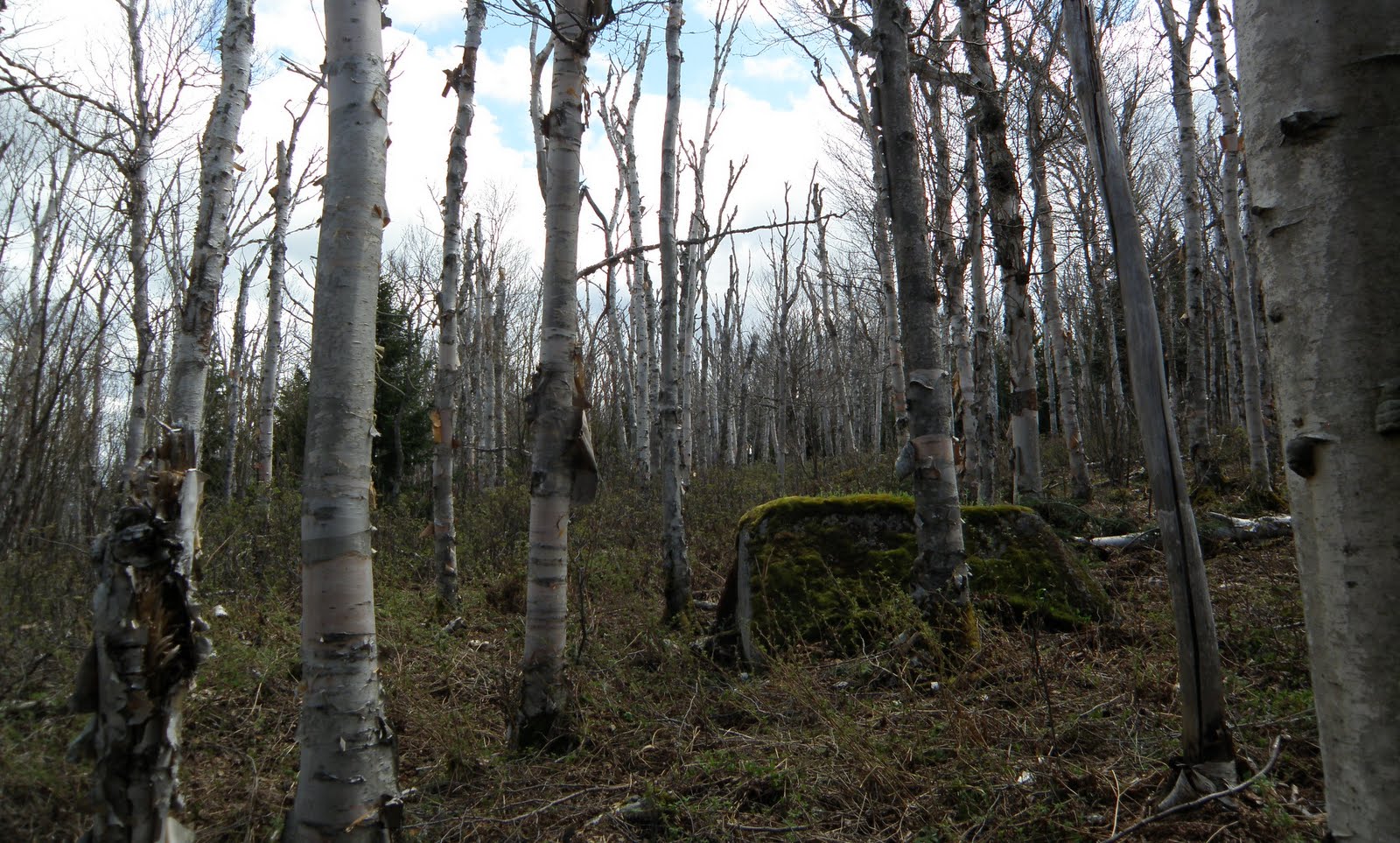
Again, fantastic woods.

You can just see Rogers Ledge through the trees.

On the ridge heading (for lack of a better term) the first bump on Deer Ridge.
Now for the highlight of the trip. Even though there was much more to see. When I hit the top of bump #1, I spotted a cow moose. I stopped and remained still. She did not see or hear me. I had my camera in hand but could not get it to focus on anything but the near by branches. One of the downfalls of an auto-focus camera. She moved off and dropped down off the peak out of site. That was the way I was headed so I quietly moved towards where she went out of site and spotted this. Can you see it?

How about now? I guessing this calf is 4 weeks or less. Assume the mother wandered off to graze somewhere else. She was no where to be seen. But the calf spotted me so I quickly backtracked and moved on as not to stress the little cutie. But what a site.

I'm going to move things along by just showing some photos of the trek between bump #1 and Deer Mountain, the last peak on the ridge.
Very cool plate fungi.

Trout Lily

Spring Beauties

Have I said incredible woods?

Peek-A-Boo View.

Unreal!

Bull moose sign.

What can I say?

Closing in on Deer Mountain.


Deer Mountain and the remains of the Fire Tower. Part of the main structure.

I believe this is an outrigger anchor.

An out building.

Wood/storage I presume.

The most important structure up there. 8)


Here's all I could find on this tower.

Well I had one more destination. Some ledges on the east side of Deer Mtn. at around 2400' The woods thickened up at bit on the way there. ;-)

Moose encounter #3. This time I was spotted first. I heard this loud grunting. I turned and saw cow and calf. She was making a hell of a racket. Which pretty much confirms my suspicions that the first cow never saw me or she never would have left her baby. Not much of a photo but trust me, I'm getting the evil eye.

Next up the ledges. This is not the ledge I was hoping to hit but making a detour around the moose landed me here. It would have to do, I was beat at this point. OK views.
Presi's


Black Crescents and Moriahs

Mahoosucs

Now for the roughly 1.5 mile bushwhack back to the fish hatchery. And right off the bat, moose encounter #4. This mother was even more upset than the the previous one. Again, she saw me first. And was quite insistent I get the heck out of there. Once again not a great shot but you can just make out the calf this time.

On the way down, I think I hit section of the old trail to Deer Mtn. Doesn't look like much but it was clearly a trail or road.

Finally popping out behind the fish hatchery headquarters.

This hike/whack far exceeded any expectations of what I had. I'm not pursuing any fire tower list so I had no idea there was one on Deer Mtn. That was cool to see. The ledges, although not great, provided some interesting views. And the moose, never in my wildest dreams. Seven, three of them babies, on one hike!
This was a fairly tough, long day. Even though these woods were incredible it was still about 5 miles of bushwhacking. Good woods or not it starts to get tedious and very tiring. But quite worth the sore muscles I'd have to say. :-)