PART 1.... The Before.
I was inspired to do this hike and short bushwhack last year after a report by 1HappyHiker. Which you can read about HERE . Which he, had been inspired by a report by Steve Smith. Somehow I had missed his report on this one.
I'd had grander plans for Sunday but a couple of circumstances caused me to change my plans and almost had me out of the mood for hiking entirely. But After a good nights sleep Saturday, my less than enthusiastic attitude changed. While having my coffee Sunday morning, this hike dawned on me. Not much planning to do for this so I was out the door by 8:30. It was a gorgeous day and would have been a shame to waste it. In Part 2, you'll see that wasting it would have been the best choice.
I arrived at the trail-head by 10:30 AM and was soon heading out on the Hammond Tr.


I arrived at the trail-head by 10:30 AM and was soon heading out on the Hammond Tr.
One of the few places the trail sign is before the parking area. Which is rather small.
It was quite warm. First day of the year I was able to start in short sleeves. For the most part there was no snow at the lower elevation. But there was the occasional short stretch of snow and ice.
But for the most part, wonderful bare ground. :)
At about .2 miles, you come to the first crossing of Stony Brook. There's a second at about .5. Neither were of much concern.
Small cascade on Stony Brook.
Shortly after the crossings of Stony Brook, I could see my target through the leafless hardwoods.
It had been I relatively flat walk but did start to climb fairly steeply.
The trail eventually hits a couple switch-backs at about 1.3. Beautiful woods. I'm kind of sorry I didn't wait for the young spring leaves to come out. I love their lime green colors.
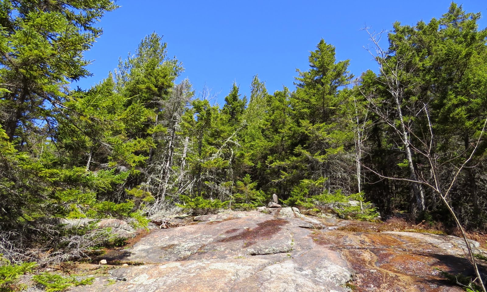
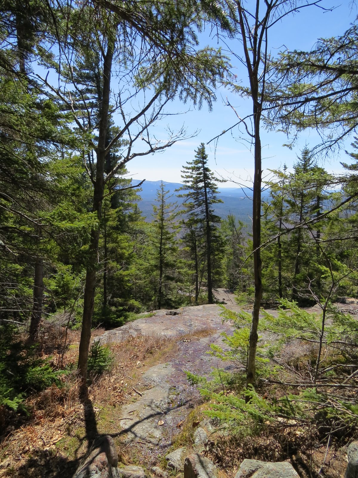
A around 1.5 miles, the trail hits ledge and the forest gives way to conifers.
Nearing the high point on this section of trail, more snow and ice started showing up.
It was this point, roughly 1.7 miles in, I took off to the east towards Bald Mtn.
Where I immediately encountered pockets of knee deep snow.
In 1HppyHikers report he mentioned he found no text suggesting there was ever a trail that went to or over Bald Mountain. But once it hit ledge, I was seeing small cairns. Perhaps built by the many explorers that know of it's great views.
Now it was time to search out the views. The first spot I came to did not yield much in the way of views.
But I love these patterns formed in the granite,
Off to look for another spot with better views.
Ahhh, looks open down there.
Ossipee's
Green Mtn.
Chocorua Lake
Chocorua Lake with Grant Peak and the Mt Whittier Ski area in the Ossipee's above.
This was OK, but I know there's better. Moving along.
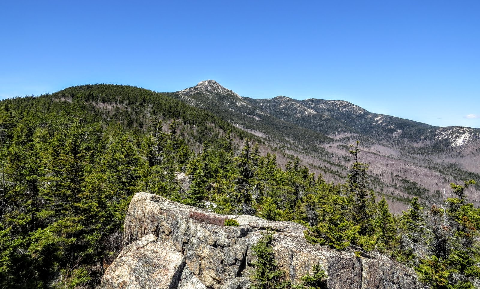
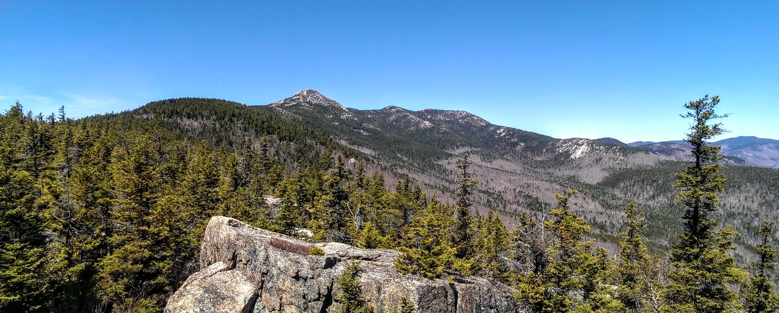
I knew from 1HappyHikers report that the best view was from atop a large rock. And I do believe that's it up ahead.
I'd have to say, this is the spot. :)
Definitely the spot to kick back. The views from Chocorua are among the very best in the WMNF. But being in a spot like this, all by yourself without a sound to be heard, is indescribable.
Northerly views.
Moats and Kearsarge North.
Cranmore and Blackcap.
Super-zoomed Carter Dome & Mt Hight
I had one last ledge to check out. These are some shots along the way.
Ending here. A lot of similar shots, but I couldn't resist.
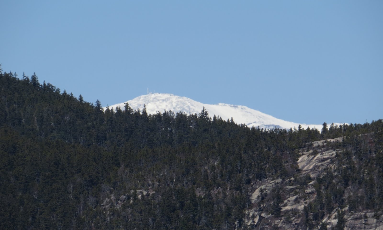
I even managed to spot Washington from here.
One last shot before heading down.
All good things must come to an end, so it was time to head down. On the way back to the Hammond Trail I passed this old campsite. Note the old, steel, milk crate.
Back on trail.
Back to the switch-backs.
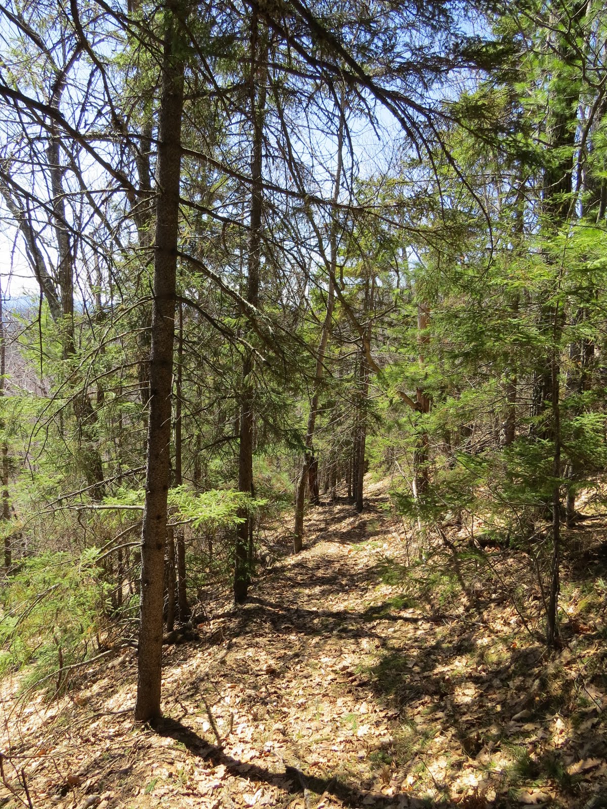
Back to the hardwood forest and where the dynamics of this hike changed drastically.
PART 2.... The After.
After what, you are wondering. After, just beyond where you can see in the photo above, I slipped in the leaves and broke my ankle. That's right, broke my ankle. The grade steepens a bit just beyond the above photo. I stepped down with my left foot which slid out in front of me. My right foot which was just behind a small rock, stayed put. My body kept sliding down, my right leg bent up behind me. So contorted that my right foot was almost behind my head when I heard it. CRACK! I knew immediately from that, and the severe pain, I just broke my ankle. But, just to see how grave the situation was, I tried to stand up. Could not put even the slightest weight on my right foot. This is not good. I had another 1.2ish miles to go and not a soul around. First thing I did was to check if I had cell service. I did have a very strong signal. Second, was to take 5 ibuprofen. 1000 mg's. The pain was that bad. Next, I contemplated what to do. My decision was to try and get out on my own. It was 1:30 PM. Still time to make, "The Call" if I was not going to be able to do this. Once I knew this, I called Becky (dreaded this call more) to let her know what happened. I said she needed to get someone to come with her and head up. Even if I got out on my own, I wasn't sure I could drive. After the initial OMG's, she was on the move.
Now, how am I going to do this? The woods just off trail were open a blanked with leaves. I thought I could slowly butt crawl my way down. This just wasn't going to cut it. The woods looked open but I was getting hung up on everything from rocks to twigs. This would take hours. Time to dig into bag of goodies. Swiss Army Knife with saw blade, 15' of parachute cord, ace bandage, extra bandanna. I was lucky to be wearing my 8" tall, winter boots. I often still wear these this time of year, especially if a bushwhack is involved. I never took my boot off (not supposed to) but laced it even tighter. Then I cut a one foot splint. I rapped my leg just above the boot with the ace bandage, This was only for padding. Same goes for the bandanna. I then laced the splint to my boot and leg, extending the splint about an inch below my sole. My thinking was should I put my foot down, the stick would hit the ground first, supporting a lot of the weight. Didn't read that anywhere, it just came to me. And it actually worked pretty well. The padding was needed above the boot because I rapped that cord as tight as I could. Next, crutches. I looked around for saplings long and strong enough, that had a V. Found 2. Now if you've ever tried to snap a sapling, you'll know how important that saw blade was. So, about 45 minutes to an hour after the accident, I came up with this,
I had to move excruciatingly slow as to make absolute sure I didn't fall again, but this was working pretty good. No need to spoil anyone's beautiful Sunday afternoon. 8)
Even had time to take a picture or 2 on the way out. :)
There would be no rock hopping across Stony Brook on the way out. Gingerly, right through, was how I had to do it. On a break, a photo of my savior. ;-)
And three hours after the initial fall, I was out. And believe it or not, my armpits hurt more than my ankle at this point.
And a little better look.
Once out, Becky was still 30 minutes away so I, maybe not so wisely, drove down to Ossipee to meet up with her. I'm very impatient.
To some things up, a day I won't forget anytime soon.
My summit wonderings.
The morning after.
P. S. The punchline, minimum 8 weeks no hiking. :(
AMENDMENT: It dawned on me I should add something to this report. I did have a few items with me that made my self-rescue possible. But, an even more contributing factor is when and where this happened. 1.2 miles in, moderate to easy trail, plenty of daylight left, and a forest that gave me the tools I needed. Many more miles, a higher elevation, later in the day, difficult trail, etc, and I most likely would have had to initiate a rescue.