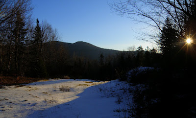
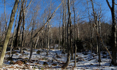
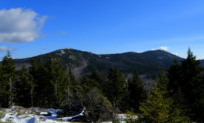
From here it was right onto the Bald Land Tr. One of the maintained trails thus a virtual road.
It passed a nice little pull-out with a view of Chandler Mountain.
The trail I believe turns into the Woodland Trail as far as I could figure out which is maintained at first but not further in. I also started seeing these numbered markers which I've no idea what they represent.
It was getting a bit monotonous on this long road walk but occasionally there was something to look at. Like this small beaver pond under the Black Mountains.
Sable & Chandler through the trees.
The final leg was probably an old logging road by the amount of growth I was seeing.
Which basically ended in this clearing.
Who would have thought the bushwhack would have been the easiest part of this hike. The woods were incredible.
You can just see the summit through the trees. The last 1/4 was steep but not extreme.
Caught my first hint of views a couple hundred yards from the top.
Finally the summit.
And subsequently, the real views. Mom and Dad. :)
North
South
West
George
It was a gorgeous day so I spent a good amount of time looking for all the views possible. I spotted some ledges which were on the east peak of west. Did that make sense? 8)
Not being far away at all I had to go check those out. This turned out to be the worst of the bushwhacking. Pretty darned thick and a ton of blow-downs. I was about hundred yards away from the ledge still but saw an opening in the trees. It had pretty much the view I'd have gotten from the ledges so called it quits there.
Now time to make the, VERY, long journey out. But you've gotta love woods like this.
Took a short very trek off trail to check out some cascades on what I believe was Gulf Brook.
I don't consider any hiking a waste of time, normally, but this next little side trip was. I passed this sign on the way in and figured I'd check it out on the way out. Should you ever be in this area, don't bother. It's an old sign.
8 hours later I was done.
I love to bushwhack to some secluded ledge or peak with views but if this one wasn't on my list I'm not sure I'd have done it. It's a long way from nowhere and you get the same, but better, views from North Baldface. It ended up being 14 miles and a significant amount of elevation gain and loss on these XC ski trails.
But I'll go with the best answer I can. Beats a day at work anytime. :D
Tracks


Joe, you continue to amaze me with your adventures! You do such a terrific job with your narrative and your photos!
ReplyDeleteBased upon the signatures I saw on the summit canister when I was there in September 2010, other folks have ventured to this peak, but one rarely sees trip reports about journeys to this spot. Thank you for posting your adventure!
Even though the routes that you and I took were not the same, nonetheless, we both found that the final approach was an easy whack through birch and other hardwoods. My trek was launched from the end of East Branch Road (Jackson/North Conway area). I hiked northward along the East Branch Trail for several miles before turning eastward to follow old logging roads for another mile or so. Eventually, I left the logging roads and bushwhacked up the west slope of West Baldface. However, my hike was done before Irene and before Sandy, and so I have no idea if the route I used is even feasible in today's world!
John
Thanks so much for the kind words John. The route you took would probably have been my first choice if not for the fact East Branch Rd. is still closed due to damage from Irene.
ReplyDelete