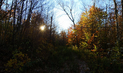
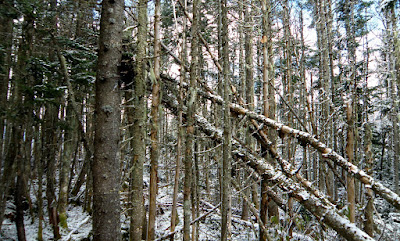
Here's the old trail to it.
Adding this to the Deceptions was going to add significant mileage but felt it would be worth it. The plan was to take Cherry Mountain Rd. to FR93 (Mill Brook Rd.). Drive that to it's end, then bike down to FR93B, where I'd start this adventure from. I did so and stashed my bike in the woods on the other side of the gate.
FR93B was a nice road walk that some lead to an old clear-cut, AKA, views. :)
Up 'til now there was no signs of a trail, just logging roads. After a turn or two that seem to be heading the wrong direction for me I started bushwhacking east to emerge on another road and clear-cut, with views.
From the top of this clear-cut I thought I may have found a part of the old trail but I think it actually was just an old, overgrown logging road with a herd path down the middle.
Again, this was heading in the wrong direction for me so again I bushwhacked towards the east and hit this herd path. Not sure I was ever on the Mill Brook Trail.
This was another one of those, looks better from a distance deals. I found a couple of out-crops the majority of the ledge was a shier drop. Views were limited but good
Now it was going to be a long bushwhack to East Deception. I basically stayed at 3100' and found good woods most of the way. With a touch a winter as I went higher.
The final climb was steep,
Snowy,
And the prize, boring. East Deception.
I was about 6 miles into this at this point but was told by a friend that West Deception had views. I don't pass on unique views so off I headed, for it. Sure enough, pretty nice views from a mostly wooded summit.
East
South
It was pushing 2:00 PM now so with the short days I wanted to get moving, with about 2.5 miles of whacking to get out. The woods on the north side of Deception were great after the initial steep descent. Between wide open woods and old logging roads, I could almost jog.
With about 1/4 or so more to go I ran into more logging evidence. Not sure what this was.
And even better road walking. I believe this is an extension of Mill Brook Rd. past the drive-able portion.
3:30 I was out.
Roughly 10 miles including the .8 mile bike ride down to FR93B. No regrets.
The Tracks


Joe . . . all of your reports are terrific, but this one was super terrific! Having been to each of those peaks, I could closely relate to your travels through the woods.
ReplyDeleteRegarding Currier Mountain, it's now been close to 4 years since I was last there and so I don't know if what I'm about to say is still true. However, there was a nice herd path that shot abruptly off to the left of a clear-cut clearing on the south side of what I think you have identified as FR 93B. This path led nearly all the way to the top of Currier.
Regardless, as shown in your splendid photos, the views from the ledges on Currier are super. And, as just one additional comment, the only evidence I found of the old fire tower on Currier was some thin cable which I presumed to be part of the communication system.
This was a truly outstanding adventure. Job well done!
John
Thanks so much for the kind words John. I suppose it is possible I was on the the old Mill Brook Trail at one point. But between the logging roads and great woods it was hard to tell. I didn't have a lot of time to spend hunting so I found no evidence of the old tower at all.
ReplyDeleteA fun trip just the same.