What I planned to do once on the trail, was up in the air. What I ended up planning on was to hit a view ledge on the west ridge of Mt Hale I'd read about in Steve Smiths Blog. After that, North Hale. I spotted the ledges on that quite some time ago looking at Google Earth. I was also thinking of trying for East Hale if I had time but decided if there was time I'd descend via the west ridge of North Hale. Which looked like it had several ledges which would provide views.
I drove to the end of Little River Rd and headed out. A little later than I'd hoped to, about 9:00 AM. Headed over the bridge, over the Little River.

On the other side there was this. Saw another a bit further down the road. Anybody?

I knew from a few years ago doing the Twins in winter, that there was an unofficial trail that was more direct to the North Twin Trail-Head. I don't know much about it but I know there's a new land issue there so I thought it was gone as I didn't see it. So it was on the snowmobile trail, then Haystack Rd. for me.


With the lack of snow, the N. Twin Tr. was a sidewalk. I got to the first crossing of the Little River. Well, first crossing if not for the again unofficial bypass, to find it pretty well ice-bridged.

Shortly after being on the bypass, I was at the Fire-Wardens Trail. Just as packed out as the N. Twin Tr.

Being my first time on this trail and in winter, I can't speak for other seasons, but this trail is in better shape than dozens of official trails I've bee on. Just beautiful.


From where I was at this point, I could see some of the ledges I was hoping to check out.

At about 3100' I started the whack for the ledge on the west ridge of Mt Hale. The woods in this area are amazing. Love birch glades.


I of coarse had my snowshoes, but the average depth of the snow was about one foot so there was really no need to wear them. After about .3 miles, I spotted the ledge.


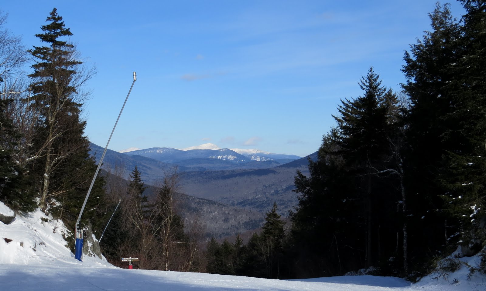
Awesome view up the Little River Valley.

Guessing on the peaks. Should be correct though.


Pretty Sweet! On G. E. I thought I saw some other ledges in the area and thought another may have been mentioned in Steve Smiths Blog. But I saw nothing near by and had much more on my plate. So as badly as I wanted to hang out there, I was on the move again after about 20 minutes.
My new term, Wow Woods!

Then back to the Trail.

At the height of land, just before the Fire-Wardens trail makes a southerly turn, is where I started the whack for North Hale.

This would be another .3 mile whack. Not the open birch glades I had before but not too bad.


I eventually came to a 20-30' high cliff.

I did not find an easy route up from where I was. It was steep, and thick with Alpine Scrub Pine. That's just what I call it, not sure exactly what it's called but it's tough as nails and almost impossible to push through. But I made it up there and was treated with great views. I'll just post a few pics in the blog and leave the dozens, :-) , of others in the album.


It was also tough getting around once up there. There was no way I was going to check out the other ledges towards the NE. And definitely did not have it in me to descend via the west ridge to check the ledges on it. I did however, think once back to the trail I'd summit Mt. Hale. So back on trail I headed up.

This is as far as I got. A peek-a-boo view of the northern Presi's. There was no point in summiting Hale. I'm not doing the 12x48. 8)

This wasn't a particularly tough hike but I was pretty beat. Believe it or not, 4 days of downhill skiing does a number on your legs. So on the descent. I bushwhacked at the main switchbacks to cut-off some length. Why not with woods like these?

I can't say enough about how awesome this trail is.

Had to step off trail to take one more photo of the, Wow Woods! 8)
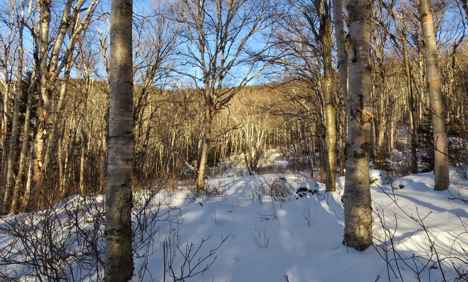
I'm not sure which was more impressive, the woods or this trail. I mean, no ice, great grades and beautiful woods.

Back at the Little River.

And now the summer lot.

Found the trail I missed on the way in. Yet another maintained unofficial trail.

I needed to hang a left, right after the bridge.

And done!

I was pretty wiped out but thoroughly enjoyed this hike. Again, since winter is the only time I've been on the Fire-Wardens Tr. I say with certainty, but this seems to be the season to do it.
One hell of a fine walk in the woods! :-)
Tracks