Wednesday, October 12, 2011

A Late Day Bushwhack to Whitewall Mtn. 3405' 10/6/11

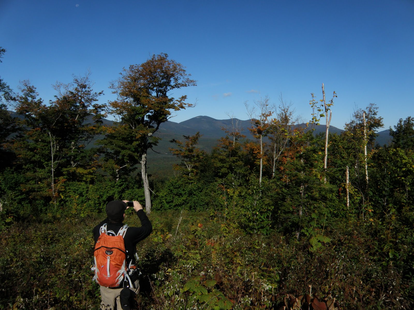
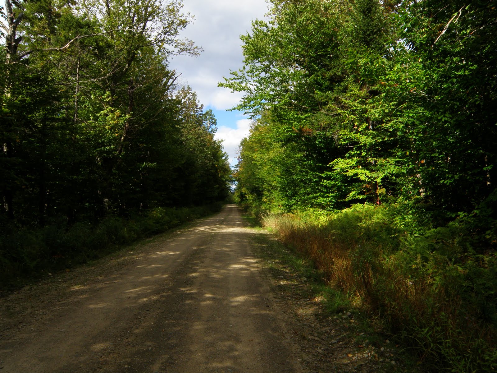
I was already planning to be in the Whites from Friday to Monday. But with the weather looking just as stellar on Thursday I used up my last P-Day. I figured I'd car camp at Sugar Loaf II so I wanted a hike with views close by. It was time for a revisit to Whitewall. It was about a week short of 2 years since my first visit. Having planned this last minute I did not get on trail until 11:45am. So off I went on the Zealand trail.

I wasn't worried about the late start but did hike at a fairly fast pace and was at the beaver ponds in short order.

A few of us did a hike to Zeacliff near the end of Sept. last year and the Zealand Notch area seemed to be in peak foliage then. And on my first hike to Whitewall which was Columbus weekend 2 years ago I noticed it was past peak. It was the same on this day. It seems foliage season comes and goes fast hear. There was some color but I'd say there was already 50% leaf drop here. But what color there was beautiful.

It took about an hour to get to the A-Z Trail where I'b be starting my the whack from.

I hiked that for about 100 yards or so then headed in, in good woods.

The bushwhack to Whitewall from the A-Z Tr. is about 1.5 miles through some pretty great woods. But the first half mile goes through some pretty killer Hobble bush. Tall and thick. You might think that's good but for me it's just annoying. The branches of hobble bush grow together sometimes making it real tough to push through.  I always seem to manage to get my legs tangled in it a few times resulting in a nose dive. :( 

I did find however, on the return trip, staying even higher on the ridge will avoid a lot of that. Anyway it does open up even more into some real nice birch glades.

Somewhere in the area of 3200' it starts to get a little thicker with much more spruce.

Then closer to the summit it levels out a bit with a lot of bog areas that were tricky to get past without sinking knee deep. I did manage to stay mud free and dry this time. 

The true summit is just above this last open field. (mud Bog)  8)

And with the final 100 yards of mud dodging I was there. This is the high point of Whitewall.

There limited views north from a small open ledge near the summit. Field & Willey.

Stairs, Resolution, & Crawford. North Kearsarge just peaking through the col.

And surprisingly, Jefferson.

Now it was time for the next bushwhack and that's the one from the summit to Whitewalls famous ledges. From here, I had to aim for Zealand over there.

It looks thick but there's actually a lot of ledge and herd paths in that direction.

It took about 15 minute to make my way over to my first glimpse of the open ledge.

And now it was play time. My first visit to Whitewall was only my 3rd bushwhack and by far the longest. And even through it was easy I was nervous about staying too long. So this time I was going to explore these ledges much more extensively. First the top ledge.

Then down to the second tier. 

And finally a third level with a cool cairn on it. 

This was THE spot for lunch and relaxation. :D

Whitewall Brook below was shimmering in the mid-afternoon sun.

Well, I'd been on the ledges for about an hour and around 3:00pm now so I started the journey out. I did want to check out the slide on Whitewall so I headed for that. But when I got there it seemed it would be too time consuming and dangerous to climb down to the top to get some views so this was as close as I got.

From here it was a short climb through some fairly thick stuff then a quick hike down the ridge. Stopping once again to take a couple photos at the ponds.

Shadows are getting real long.

A quick stop at the Zealand River.

Sun's very low now.
The End. :-)

Whack Tracks


Monday, September 19, 2011

The Black Crescents 9/17/11

Greg and I decided to bushwhack the Black Crescents Saturday. Two are on the NH 3K list and the third is on NH 200. As on all bushwhacks I plan, I look at Google earth to see how the woods look. When doing so, I could see there had been some major clear cut logging almost to the summit of N. Black Crescent. Which to me would equal views so that was the plan for the ascent. I asked someone about the logging and he said it was last logged in 2006 so no telling what it might be like now. The starting point would be a spot on Bog Dam Rd. which is off York Pond Rd. We arrived at the spot I thought would take us to the clear-cut and headed out.
From this clearing at the start, we hit mostly open woods. Almost road like.
We were in these woods for no more than a couple tenths of a mile when we could see signs of it really opening up.
As soon as we got through that we came out on a ATV/snowmobile trail. And beyond that, waist high or less scrub. AKA, views.  :D
The higher we got, the better the views. Kilkenny Ridge behind us.
Franconia Ridge to the south.
And north toward the Percy's
So far, I can't really say we were bushwhacking. The scrub was pretty thick in  spots but walking on this wide open side of the mountain was such a treat that the thick scrub was barely noticeable. 
Getting close to the summit we had to go back in the woods. This this is what the woods were like there.
Five minutes later, we were at the summit.
After a quick signing of the log, we headed for what is called S. Black Crescent on the 3K list but it is actually the middle one. No clear-cut now but we found it to be a great open woods ridge.
It took us about a half an hour to 45 minutes to make to the next peak. At the summit there was a large boundary marker right next to the high point.
After signing the log at this peak we discussed weather we were going to go for the third Black Crescent which was is on the NH 200 highest list. But I at least wanted to try and find a talus slope which was on the east side of the next bump. Again going through great woods. 
We got to where I thought we'd be able to get to the slide. I descended a little and could see the northern Presi's through the trees. I came to the edge of a shear drop. I could see the talus below but it was about a 150 straight drop down to it. I was probably standing on the edge of a shier slide. Oh well, this was a pretty decent lookout.
After taking a couple photos here, we decided we were going to go for the last peak, South Black Crescent. 
Now up until now we enjoyed great woods. There were some good woods on the way to the next target as well.
But we did manage to find quite a few blow down fields as well. Which I'm really starting hate. No patience for them anymore I guess. Anyway, we made it to S. Black Crescent. Greg, signing the log.
It was here that we realized we both had brain cramps in the morning. Since I would be car camping somewhere tonight, we both took our cars here. We both were thinking in the morning that all 3 peaks were a possibility. Did we spot a car further up the road? Nope, both were parked together which meant we'd be having about a 1.5 mile road walk at the end. :(  So we headed off for the road in more beautiful woods.
At about 2500' we ran into more old logging giving us back our views.
We found an old logging road around here took that most of, the rest of, the way down.
Now all we had was the road walk back to the cars, sitting just as we left them, side by side. Ooops :-)
An absolutely, great bushwhack.  :D

The Tracks